by Philip Geeves F.R.A.H.S.
District Historian
The majority of our pioneers made their homes along the Rocky Point Road. At the time of which we are speaking this road was primitive and often dangerous. The Rocky Point Road ran from Cook’s River Dam to Rocky Point, or Sans Souci as we call it today. It was an extension of the Cook’s River Road from Newtown, which was then the principal shopping and trading centre of the entire Botany Bay District. As the traveller crossed the Dam into St. George, he paid toll at the toll bar 150 yards from Mr. Spark’s old Bathing House and a little further along he came to the junction of the Rocky Point and Muddy Creek (now West Botany Street) Roads. From this junction the road to Rocky Point began to rise steeply up Arncliffe Hill, known to our pioneers as Cobbler’s Pinch. After negotiating the rocky brow of the hill the road ran down sharply to a natural stream which crossed it near the present site of Spring Street, Banksia, and continued across swampy ground in what is now the vicinity of Ricketts & Thorp’s factory. Here the road surface was mainly corduroy track, for it skirted an extensive swamp between the present site of the Town Hall and the corner of Bay Street. Further on was another creek crossing close to Skidmore’s Farm where Muddy Creek or Black Creek was often impassable after rain.
It is no exaggeration to say that the early roads through the district were deterrents to the traveller.
In 1871 a traveller passed along Rocky Point Road and has left us this description.
“After passing Cook’s River Dam, for a mile or so, I pity a traveller’s poor bones if he proceeds faster than at a slow walk – but afterwards the road is tolerably good. It appears that the part of the road just described is a kind of “no man’s land” which partially accounts for its ill conditioned state. Beyond this we come upon numbers of market gardens and nestling among them a neat well-kept nursery called “Rosevale” which, when we passed, reminded me of a rich Brussels carpet, a patch of dahlias as a centre piece with their many varieties of colour, being its chief attraction.”
When the railway came to Rockdale in 1884, one reporter described our town – such as it was – as “a pretty little village”.
If we could go back in time and walk the rutted, dusty length of Rocky Point Road from Moorefield to Arncliffe, this is what we would have seen had we confined our observations to the eastern side of the road. From the boundary fence of Peter Moore’s estate “Moorefield” – the fence that ultimately became President Avenue – we would have made downhill to Skidmore’s Bridge which was built in 1862 and was the first improvement of its kind provided from Government funds in the district. It was merely called Skidmore’s Bridge because it was adjacent to Frederick Skidmore’s farmlet. On the eastern side of the road the principal families were those of Samuel and John Schofield, gardeners, Joseph Twiss,engineer, and Thomas Mascord, gardener and orchardist. No doubt many of you are familiar with the old Mascord home which still stands in Chandler Avenue but faces towards Rocky Point Road. In rear of these properties lay the Patmore Swamp, so called after the original grantee of Moorefield, Patrick Moore, who received this land from Governor Macquarie. This swamp, once a paradise for sportsmen who came there to shoot the abundance of water birds, was a continuing problem to many Councils over the years. After heavy rain the swamp came right up to the lower levels of Bay Street and was one immense sheet of water from that point to Moorefield. Boats could be rowed on it: indeed, James Beehag’s granddaughter informed me that her mother once fell out of a boat in the vicinity of what was previously James Street – named, of course, for James Beehag, the original proprietor of the land thereabouts.
But we have strayed from our subject ….. let us return to Rocky Point Road. Crossing the bridge near Skidmore’s Farm we would have encountered the homes of two professional men living near Dr. Lofberg’s residence; they were James Gannon, barrister, of “Kent Villa’ and William Rudolph Clay, Rockdale’s first doctor, whose home was “Montreux”. James Gannon was a relative of Michael Gannon, the one-time proprietor of much of present day Hurstville, then known as Gannon’s Forest.
Then came a small shop kept by John Andrews, draper, but cared usually in charge of his wife. It was Mr. Andrews who conducted Rockdale’s first school in the Wesleyan Chapel built on James Beehag’s land and from which Chapel Street took its name. As we proceeded past Andrew’s we would have passed Mr. Bryant’s saddlery, F. and A. Moir, timber merchants, several small shops and the branch of the Australian Joint Stock Bank, which closed its doors in the great bank crash of the 1890’s. Speaking of banks, the position on the corner of Bay Street and Rocky Point Road now occupied by the Bank of N.S.W. was originally church land, part of the Wesleyan’s gift from James Beehag ….. and two large trees stood on the very corner. In rear of the trees, fronting Rocky Point Road, was an ironmongery kept by Mr. Harry Jobbins and nearby on the Bay Street frontage, was the greengrocery of Benjamin Bowmer. Other pioneer businessmen on this eastern side of Rocky Point Road were Charles Barsby, draper and boot importer, who came to Sydney from Victoria, opened a business in Hurstville and later conducted two shops at Kogarah and Rockdale. His Kogarah premises are now occupied by Turner Bros. Rockdale’s first Chemist was T. P. Swindale; his business later passed to Oscar Lofberg.
Bay Street was and still is the bisector of Rockdale township. In an age when most people and even doctors fondly believed that all ills could be cured by sea bathing and ozone, Bay Street carried much more traffic than Rocky Point Road because it led directly to the beach. This easy access enabled Rockdale to leap ahead of Kogarah in popularity, principally as a holiday resort, but also as a residential area. This traffic was, of course, the direct result of Thomas Saywell’s enterprises at New Brighton, Lady Robinson’s Beach – or Brighton le Sands as he later called this imaginative venture.
Saywell’s tram was the link between Rockdale station and Lady Robinson’s Beach … but before the tram tracks could be laid Bay Street had to be made. From the beach front to Farr Street it was little better than a chain of ponds; between Farr Street and the station there was a small mountitn of rock, one of the features that prompted Mary Ann Geeves, when requested to give the settlement an official title, to coin the descriptive name of “Rockdale” ….. a dale surrounded by rocky outcrops. When this rock was excavated at Thomas Saywell’s expense, the spoil was dumped into the marshland known as Frog Hollow which extended along the eastern side of Rocky Point Road, as we mentioned, from the corner of Bay Street almost to Bryant Street. In places this water lay more than a foot deep and supported a lush growth of bulrushes In rear of the swamp were age old mahoganies, about 100 feet high. Frog Hollow was well named because when night fell the residents of this little hamlet were regaled with a croaking chorus which was louder than that in “The Frogs” of Aristophanes. Even after the swamp was filled in and shops were built along the eastern side of the road, the frogs remained.
Apart from the few shops, the principal landmark between Bay Street and Bryant Street was the Grand Hotel, of which Mr. Charles W. Linke was mine host. It was the second hotel in Rockdale, the first being John Keats’ Royal Hotel. In rear of the Grand and extending to Bryant Street was Bray’s Paddock. The Brays were indeed a pioneer family; William and Walter Bray were both builders and William Bray Jnr. was a van proprietor. Their neighbour and relative was Mr. William Matheson. Mr. Bert Matheson who did so much for the Boy Scout Movement in this district is a grandson of Mr. Bray.
The street which now bears the name of Mr. E. J. C. Bryant was once the boundary fence of Conrad Frank’s garden and orchard. I am reliably informed by some schoolboys who tasted them eighty years ago that Frank’s peaches were the finest in the district ….. particularly when they were stolen, forbidden fruit always being sweeter.
Adjoining Frank’s to the north was Iliffe’s “Rosevale” nursery which was mentioned earlier.
The first name for Bestic Street was Goodes Road, so called after Richard Goode whose market garden was nearby. This was a most interesting thoroughfare which could have become the focal point of Rockdale. In 1882 whilst the railway was still being built, there was some doubt as to where the stations would be located. The plan was to space them as evenly as possible having regard to the existing hamlets along the route – although, with the possible exception of Hurstville, there were no centralised communities of any significant size. By May 1882 the location of Arncliffe station was certain; it was dictated by the great tunnel which is now an open cutting on the southern side of Arncliffe village. But the exact position of Rockdale Station was very much in doubt. Thomas Saywell, with his wealth and connections, kept himself abreast of developments. When he suspected that the station might be placed near what is now Bestic Street and was then Goodes Road, he approached Council in January 1883 to open this thoroughfare all the way to the beach, undertaking to contribute a substantial sum towards the cost of the work. No doubt he envisaged his tramway taking this route from the new station to his planned holiday resort at Lady Robinson’s Beach. The plan came to nothing, however, for the Rockdale station was eventually pegged out further south on Yeoman Geeves’s property and Saywell was then committed to the infinitely greater expense of cutting down the great rocky barrier in Bay Street to strike the levels for his tramway. Consequently Goodes Road remained in its pristine state.
At the northern corner of Goodes Road and Rocky Point Road was Peter Hermann’s garden, noted for its delicious strawberries. This portion of Bestic Street was often called Hermann’s Road in the early records.
Adjoining Herrmann’s property was Philipp Muhlhausen’s orchard. Like the Franks, Reuters and Herrmanns, the Muhlhausens were German migrants. The children of our pioneers divided their attention between Frank’s peaches and Muhlhausen’s quinces in their quest for vitamin C. At Frank’s it was a question of climbing a fence but Muhlhausen’s orchard could be entered much more adventurously by crawling through a subterranean drain which ran beneath Rocky Point Road. However, Mr. Muhlhausen knew about the larcenous tendencies of boys. His first line of defence was a pet parrot which screamed at the approach of strangers. Muhlhausen himself also kept a shotgun which he loaded with a mixture of shot and saltpetre … and his third protection was his son Fred, a giant of a man who could lift two boys across his outstretched arms.
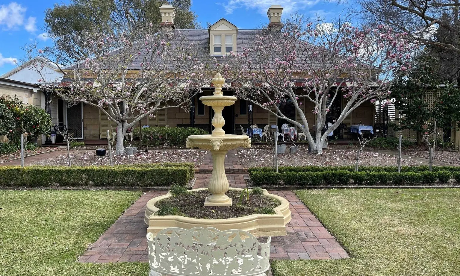
Next to Muhlhausen’s was William Lawrence’s paddock which ran to the alignment of Spring Street. At the northern corner of Spring Street was Alfred Vincent’s nursery on the lower slopes of Arncliffe Hill and next to it the charming residence, still standing “Elysian”, the home of successful printer H. W. McKern.
But we have come far enough. The road has been rough and dusty and we are tired from climbing Arncliffe Hill. It is fortunate that we are right at the door of Mrs. dune’s well-named hostelry, “Botany View”.
– a precis of the talk delivered by Mr. Geeves at the October 1962 meeting of the St. George Historical Society.
This article was first published in the February 1963 edition of our magazine.
Browse the magazine archive.