by Charles Napper
Rockdale is a residential and commercial suburb situated about six miles south of Sydney adjoining the western shores of Botany Bay. The original municipal area was known as West Botany which consisted of the area west of Botany Bay, bounded on the north by Cooks River, on the south by Georges River, and extending westward to a line following what is now the Tempe East Hills Railway Line.
The small settlement of Rockdale was in the very early days known by various rather silly names such as Muddy Creek, Frog Hollow, Gum Tree Flat and some other names too bad to write down.
A Mrs. Geeves who kept a small shop in the settlement was asked by the Postal Department to give the place a name. She mentioned Rock-Vale but this was rejected because there were many other places with a name ending in vale, which the Department said might cause confusion. She then suggested Rockdale, which was accepted as suitable owing to the large hill of rock on the eastern side. The present public school being a prominent landmark on this site.
For quite a long time after the settlement of Sydney was established there were very few people living this side of Cooks River, owing to there being no road for vehicle traffic across the river.
Later, however, owing to a water shortage Sydney (which trouble still exists) the government of the day decided to build a dam across the river at Tempe, which was to separate the fresh water which came down from the hilly country around what is now Canterbury and Earlwood, and also the water from Wolli Creek. Unfortunately this scheme was not a success as a water supply. Owing to a seepage in the wall of the dam some of the saltwater still came through and the fresh water proved brackish and unsuitable for drinking but the early settlers made good use of the crest of the dam, using it as a road to the southern parts of the colony.
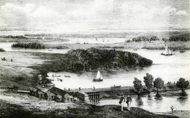
This road was quickly used, and soon a goodly number of settlers took up land as vegetable gardens, orchards, dairymen, etc. Rockdale District for many years was known as the vegetable bowl of Sydney. Also Gannons Forest, now Hurstville, provided timber for most of early homes around Sydney.
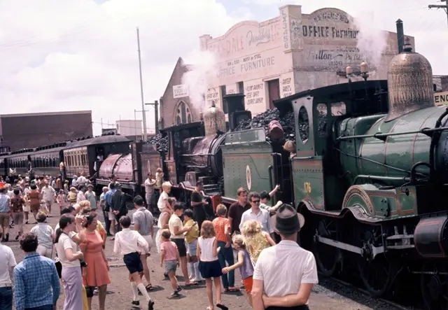
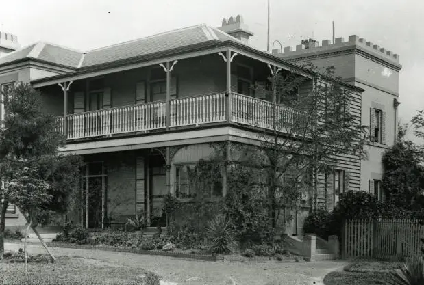
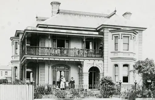
In 1884 the railway line was opened from Redfern to Hurstville. This proved a great benefit to the district, and soon many people came out this way to live, and much more land was taken up both for homes as well as gardening. Many fine homes were built on the higher parts of Arncliffe, Bexley, and Brighton Le Sands.
Rockdale is now a thriving community and a first class suburb of Sydney.
The Municipal area has a population of approximately 80,000. This includes Arncliffe, Bexley, Brighton Le Sands, Ramsgate, and Sans Souci and covers an area of eleven square miles.
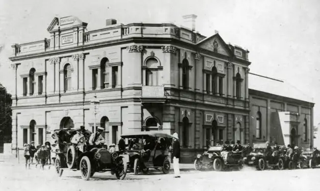
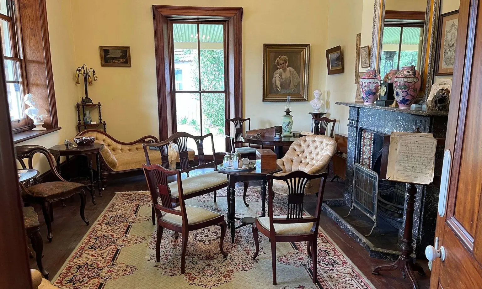
Rockdale has a very fine town hall and administrative offices. It has five baby health centres, a nursing service, a meals on wheels service, four senior citizens organisations, a Municipal Orchestra & Opera Company, a St George Eisteddfod, a large municipal library, an historical society and several other cultural activities, all ably supported by the Municipal Council.
All these things go to make Rockdale a progressive suburb and a very desirable place to live.
This article was first published in the June 1966 edition of our magazine.
Browse the magazine archive.
Unless noted, images courtesy of the Bayside Library Service Local History Collection.