
Bayside Drive
This half hour 10km drive takes in the southern suburbs of Ramsgate Beach, Dolls Point and Sans Souci.
This guide was launched by Rockdale City Council during Local Government Week, August 1998 to encourage a broad appreciation of the city. It highlights points of interest in the 1991 Rockdale Heritage Study by Meredith Walker and Terry Kass. The Heritage Adviser, Gary Stanley, produced the guide. The council was merged in 2016 to form Bayside Council.
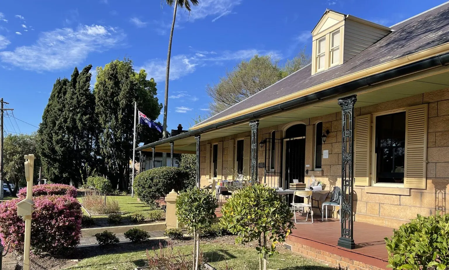
The southern part of the City was mostly developed after WWII, however, there are a few houses which remain as evidence of earlier beachside houses and a grand Victorian building, in Primrose House, Russell Avenue. This house was originally built as a house and later converted to a hotel.
The area was an important environment for the Cadigal aboriginal tribe, as it provided an abundance of food. Food was not harvested in large quantities. Meat, fish and other perishables were eaten immediately, seeds were often stored for a time and eaten later. There were many middens which have been found to contain the remains of shellfish meals, as well as marsupial, fish and marine animal bones.
Continue south along Chuter Avenue, right at Emmaline Street and left into Hawthorne Street. Here you are able to appreciate remnant natural vegetation which was once typical of the area.
Left at Florence Street, and right again into Chuter Avenue, right again at Sandringham Street and left into Napoleon Street.
From the end of the street there are views over the Georges River. Riverside Drive and Clareville Avenue will bring you back to Russell Avenue.