by Margaret Collister John Bowmer, aged 25, arrived in Sydney on the “Irene” on 16th October 1852 with his wife, Eliza Maria aged 28 and their infant daughter Fanny, born in 1852, another child having died at sea on the way out. John was a gardener and was born at Rephem in Lincolnshire, England where …
Black Friday Sale
Enjoy a 15% discount on all of our books and DVDs until 5pm Saturday, 30 November 2024. Order the perfect Christmas gift at our online shop.
The Fitzgerald Family and Fitzgerald’s Hill, Kogarah South
by Thelma Hayman Included amongst the several large tracts of land bestowed on various people in the early days of the settlement that became known as Koggerah (now spelled as Kogarah) was a triangular shaped area which came into the possession of John Porter. Its boundaries were set by the western side of Rocky Point …
Continue reading “The Fitzgerald Family and Fitzgerald’s Hill, Kogarah South”
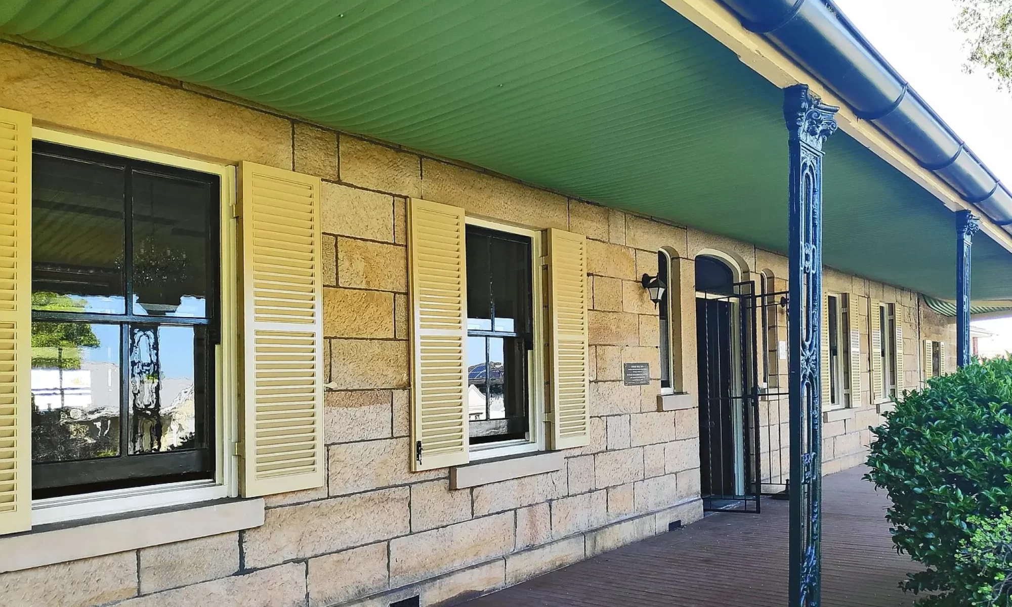
Municipality of Kogarah
Although incorporated on 22nd December 1885, the history of the Municipality of Kogarah – an Aboriginal word meaning a “place of bulrushes” – commences in the time of Governor Macquarie, who made the first land grants in the district. Amongst these were 2,250 acres to Captain John Townson R.N. in 1810, 1,605 acres to his …
Watch Presentation Recordings
Watch recordings of some of our past presentations.